Wildlife Monitoring: recognise species, understand populations
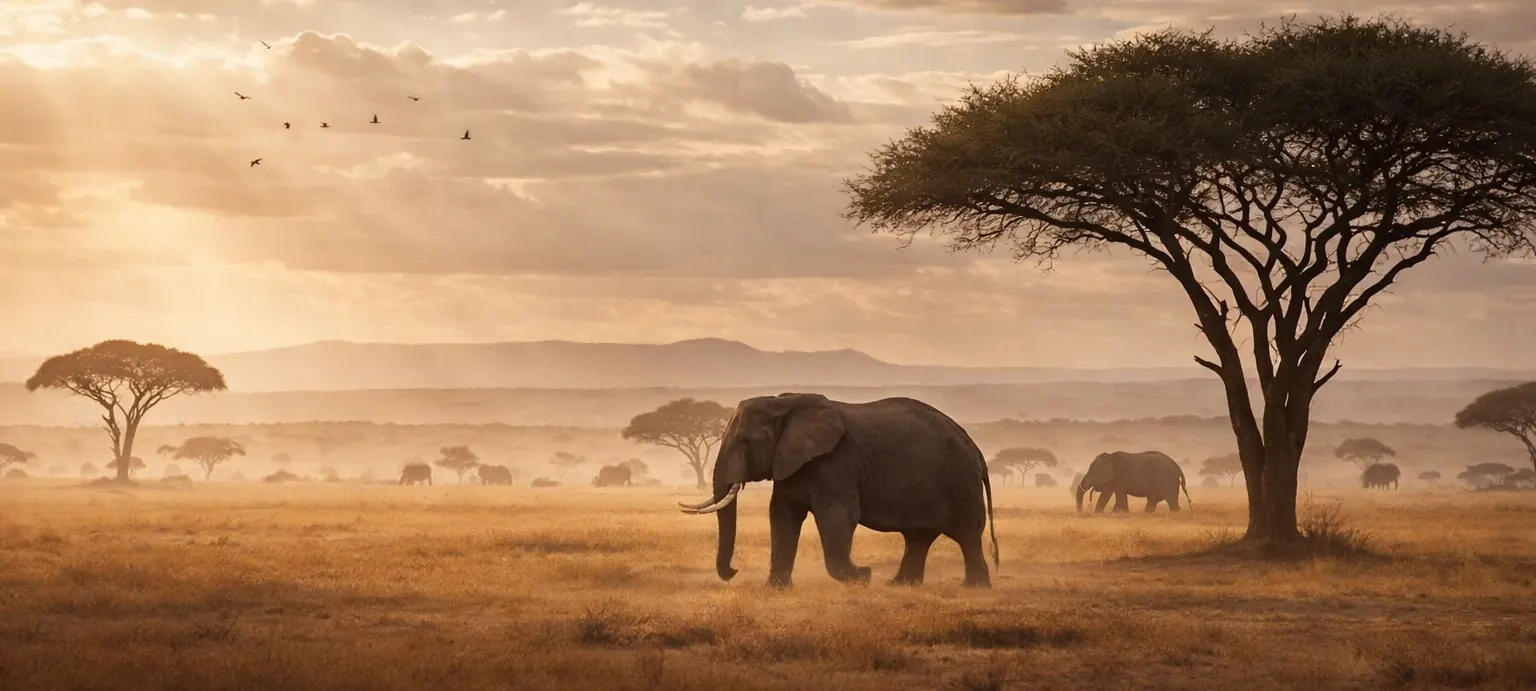
AI cameras recognise the species, sensors measure the habitat, satellites add the context. Populations, movement and activity become curves instead of guesses, and the report almost writes itself.

What goes wrong quietly.
Ten thousand photos, nine thousand empty
Camera traps fill SD cards with moving grass and the same deer at dusk. Someone has to drive out, collect the cards and sort them by hand before a single number exists.
Presence without a pattern
A sighting says an animal was there. It does not say when it comes, which way it moves, or whether the count is going up or down over the years.
The report is due, the data is in a drawer
Funders, authorities and research partners want survival rates, hotspots and trends. Compiling them from notebooks takes weeks every year.
Where the sensors sit.
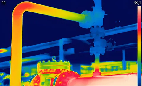
Every dot is a sensor family in its typical place. Select one to see what it measures and what baiond does with it.
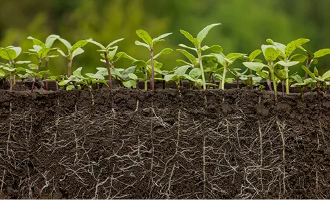
The baiond AI camera classifies the animal on the device and sends the species, time and location, not a memory card. Climate, water and soil sensors in the same area describe the habitat, and satellite data adds vegetation and land-use change for the whole reserve. Every camera and sensor is a place in the Space System, so activity by species, time of day and season shows up as a heatmap and a trend. Ask baiond where the activity was last week, and the answer comes with the numbers and the source.
-
-
-
-

-


The same site, run differently.
A monthly drive to collect memory cards.
Species, time and place arrive from the camera shortly after it triggers.
Nine empty frames for every animal, sorted by hand.
Empty frames are filtered out on the camera. You see animals.
Weeks of notebooks before the annual report.
Activity by species, month and area as a report you export.
Proof
-
Rhino Ark Kenya
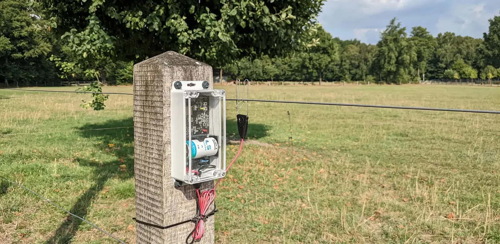
A solar-powered sensor network across protected areas in Kenya: baiond watches over 800 km of electric fence, water and soil, and identifies wildlife with AI cameras.
In use at and in partnership with


What managers ask before they start.
How does the camera recognise the species?
A trained model on the camera itself classifies the animal in the frame. Only the result, the time and the location are sent; empty triggers and unrecognised frames are dropped or flagged for review.
Does it work without mobile coverage?
Yes. Cameras and sensors send by LoRaWAN to a baiond Gateway with a solar panel; the gateway needs one connection for the whole area, by mobile or satellite.
Can I combine the sightings with weather and habitat data?
That is the point. Activity per species is laid over temperature, rainfall, moon phase and vegetation index, so you see why a corridor is busy in May and empty in August.
Who owns the data?
You do. Your reserve, your cameras, your records. Research partners get access to the areas and apps you grant them, nothing more.
Related industries
Same sensors, same questions, a different floor.
-
-
-


Ready to give your data a voice?
Thirty minutes with the baiond team about your site and your questions. No slides.
Request a consultation