Environment & Agriculture: data from the field
Fences, wildlife, forests, vineyards and stables, measured where there is no power and no network. Solar sensor networks, AI cameras and satellite data in one platform.

Different sites, the same questions.
Outdoors, the problem is distance. The fence section that lost its voltage is forty kilometres from the office, the vineyard slope that stayed wet overnight is on the far side of the valley, the plot of seedlings is a day's drive away. Whatever happens out there is discovered on the next round, and the round takes the same day whether something is wrong or not.
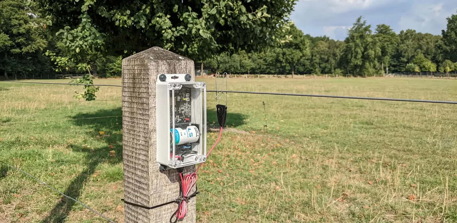
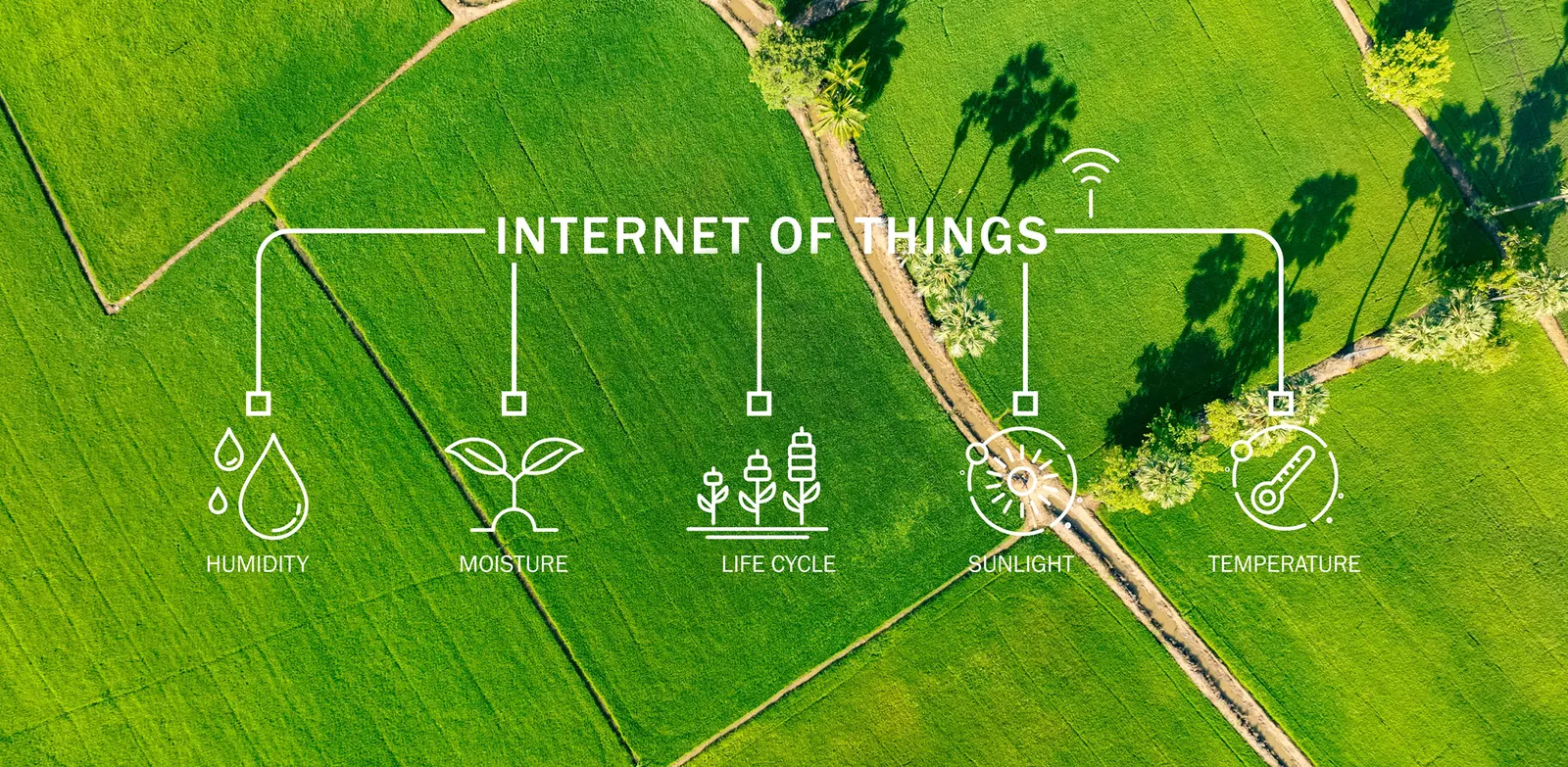
baiond was built for that distance. Sensors run on batteries or a small solar cell and send by LoRaWAN over long distances to a gateway that needs one connection, by mobile or satellite, for the whole area. Fence voltage, soil moisture, leaf wetness, water level, stable climate and the species in front of an AI camera arrive on one platform, and satellite data adds vegetation, biomass and land-use change for the whole reserve or estate. Every section, plot, enclosure and stable is a place in the Space System with its own readings and thresholds.
When a value leaves its range, the ranger, the winegrower or the stable manager gets a message naming the place, the reading and the likely cause, so the next drive goes straight there. And when a funder, a carbon registry, an authority or a vet asks what happened last month, the answer is a report with numbers and sources, not a notebook.
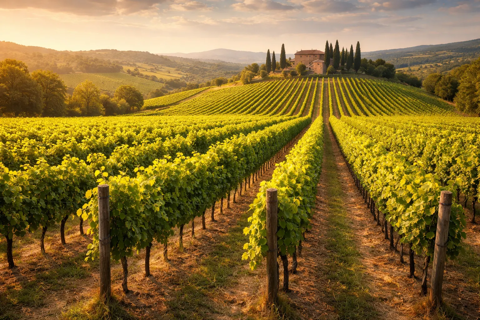
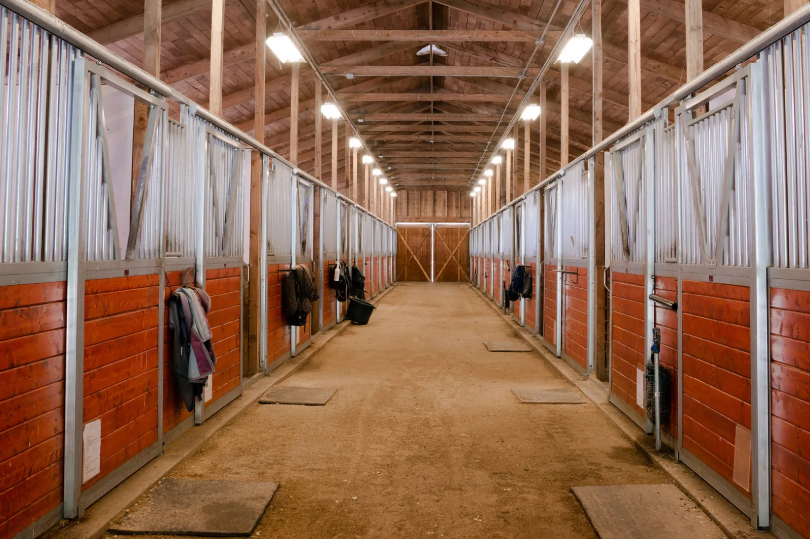
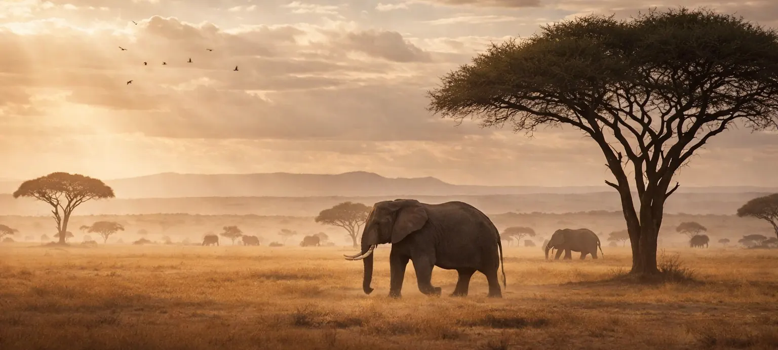
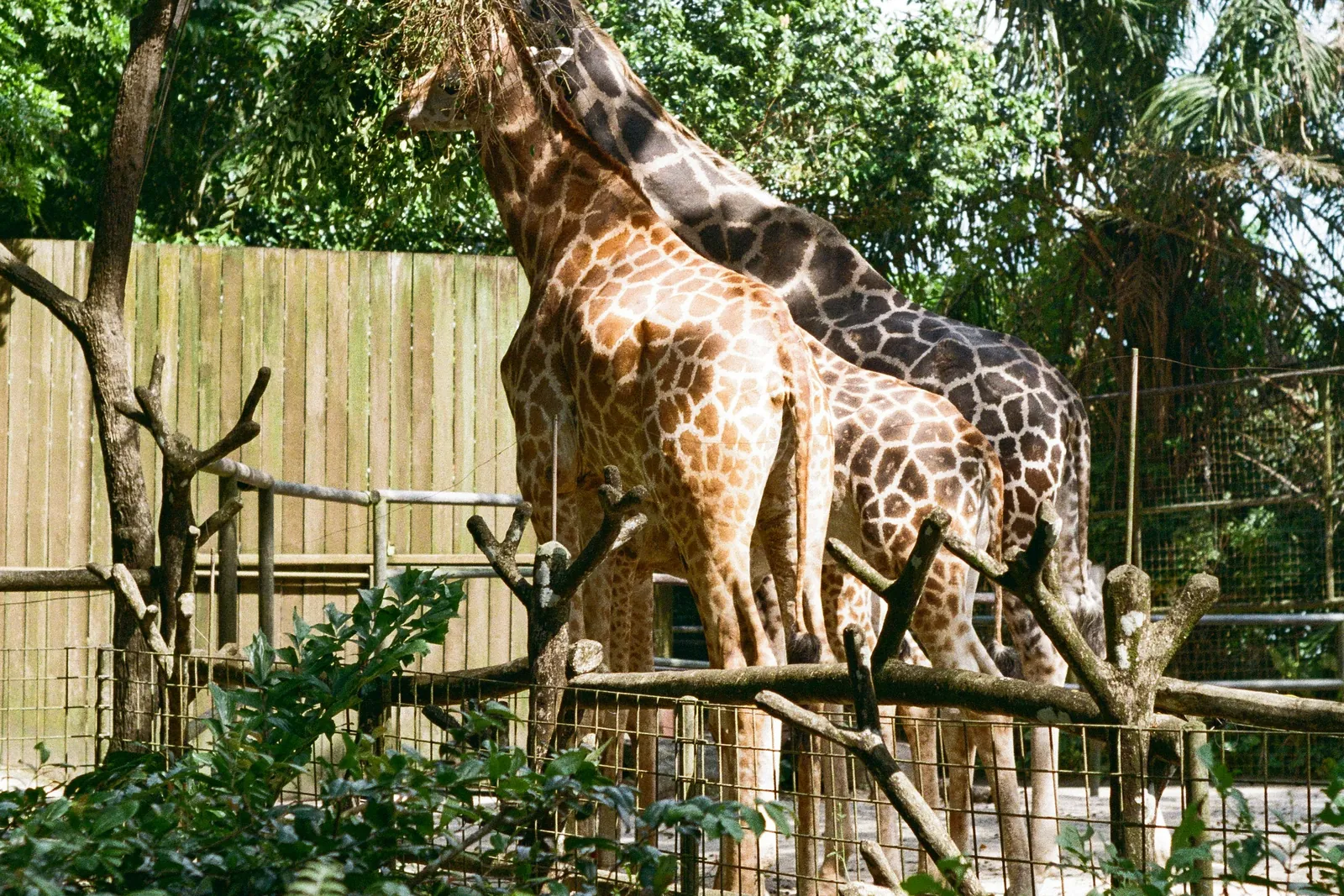
The pages in this area cover electric fences from reserve perimeters to alpine pastures, wildlife monitoring with AI cameras, reforestation and mangrove projects under satellite watch, vineyards and their microclimate, equestrian facilities and stable climate, and zoos, wildlife and safari parks.
Pick your floor.
Every page speaks the language of the people who run the site: their questions, their sensors, their thresholds.
-
-
-
-
-
-


Questions from this category.
One situation per industry, answered the way baiond answers: the readings, the reasons, a recommendation and the source.
Checked Electric fence sensor (custom-built) · LoRaWAN · Space System How did baiond know?
- Sensor
- baiond Gateway
- Space System
- AI agent
The sensor reports to the baiond Gateway, the Space System puts the reading in context (location, threshold, history), and the AI agent turns it into an answer.
Source: Electric fence sensor (custom-built) · LoRaWAN · Space System
- Voltage 5,900V
- Target ≥ 8,000V
- Section 180m
Yes. Fence voltage dropped to 5,900 V in the northwest section, significantly below the target range. The affected area is approximately 180 m long.
Inspect the northwest fence section for vegetation contact, damaged insulators or a broken wire.
Would you like me to investigate further?
Looking closer. This is what the data shows:
Possible reasons- The drop began at 19:52, right after the evening wind picked up.
- The two neighbouring sections hold their voltage, so the fault is local.
- The last inspection of this section was 6 weeks ago.
The sensor reports to the baiond Gateway, the Space System puts the reading in context (location, threshold, history), and the AI agent turns it into an answer.
- Sensor
- baiond Gateway
- Space System
- AI agent
Source: Electric fence sensor (custom-built) · LoRaWAN · Space System
Understood. I keep watching Reserve perimeter · Northwest and let you know if anything changes.
Answers are generated by AI, may contain mistakes and use example values. Please don’t enter personal data. Privacy
Proof from the field
-
Rhino Ark Kenya
A solar-powered sensor network across protected areas in Kenya: baiond watches over 800 km of electric fence, water and soil, and identifies wildlife with AI cameras.
-
Hofburg Congress Center Vienna
Congresses, balls and conferences in the halls of Vienna's former imperial palace: baiond counts the guests per hall as they come and go, alerts the team at the capacity limit and documents how people move.
In use at and in partnership with


Your industry guide
One PDF for your industry: the questions baiond answers there, the sensors that measure it and what changes on site.
What operators ask before they start.
How do sensors report from places without power or mobile coverage?
Each sensor has its own battery, optionally a small solar cell, and sends by LoRaWAN over long distances. Only the gateway needs power and a connection; a solar panel and a mobile or satellite link cover a whole reserve or estate.
What does satellite data add to sensors on the ground?
The whole area instead of a point. Vegetation health, biomass, land-use change and fire alerts for every plot you draw on the map, every few days, with the weather laid over it. Sensors explain why; the satellite shows where.
Is there a reference for this kind of project?
Rhino Ark in Kenya monitors 800 km of protective fence with baiond: voltage per section, an alert with the section name when it drops, and a log for every event. The same parts work on a pasture fence with three sections.
Can partners, funders and researchers work in the same project?
Yes. Access is granted per project and area: a donor sees the dashboard of the plots they fund, a research partner exports the camera data of their corridor, a field team edits only its region.
Ready to give your data a voice?
Thirty minutes with the baiond team about your site and your questions. No slides.
Request a consultation